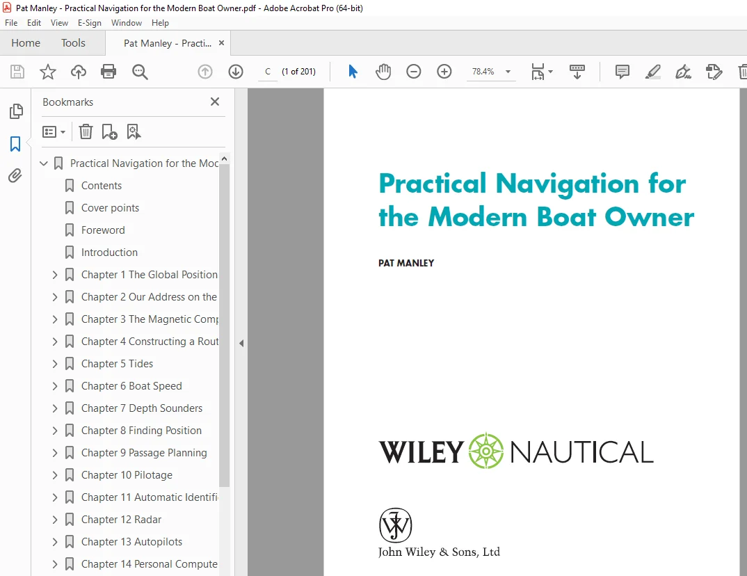
Pat Manley Practical Navigation for the Modern Boat Owner PDF
$28.95
Pat Manley Practical Navigation for the Modern Boat Owner – PDF DOWNLOAD
Description
Pat Manley Practical Navigation for the Modern Boat Owner – PDF DOWNLOAD
FILE DETAILS:
Pat Manley Practical Navigation for the Modern Boat Owner – PDF DOWNLOAD
Language : English
Pages : 201
Downloadable : Yes
File Type : PDF
IMAGES PREVIEW OF THE MANUAL:
TABLE OF CONTENTS:
Pat Manley Practical Navigation for the Modern Boat Owner – PDF DOWNLOAD
Practical Navigation for the Modern Boat Owner 1
Contents 7
Cover points 13
Foreword 15
Introduction 17
Chapter 1 The Global Positioning System 19
How Your GPS Receiver Tells You Which Satellites It Can See 20
How GPS Works 21
Accuracy of the Fix 22
GPS Blackout 23
Deliberate Interference 23
GPS Is Line of Sight 23
Selective Availability 24
Differential GPS 24
Wide Area Augmentation Service 24
Switch-On Delays 25
Measurement of Speed 26
Measurement of Course 26
Measurement of Heading 27
Errors in COG and SOG 27
Chapter 2 Our Address on the Earth’s Surface 29
The Equator 30
Latitude 30
Greenwich Meridian 30
Longitude 30
Our Address 31
International Date Line 31
Measurement of Latitude and Longitude 31
Distance and Direction 32
Direction 34
The Flat Earth 37
The Spherical Earth and ‘Map Data’ 38
Chart Errors 40
Chart Scale 42
Measuring Latitude and Longitude 43
Chart Symbols 44
Chapter 3 The Magnetic Compass 47
The Earth’s Magnetic Field 48
Steering Compasses 48
Compass Deviation 49
Compass Correction 49
DIY Compass ‘Swing’ 49
Fluxgate Compasses 51
Chapter 4 Constructing a Route 53
Using Second-Hand Waypoints 54
Loading the Route into the GPS 56
Constructing a Route on an Electronic Chartplotter or PC 56
Chapter 5 Tides 57
Tidal Heights 57
Tidal Flow 68
Finding the Value of the Tidal Flow 70
Chapter 6 Boat Speed 75
Speed over the Ground 75
Speed Through the Water 76
Measuring Speed Through the Water 76
Log Errors 76
Chapter 7 Depth Sounders 79
How They Work 80
Depth Units 80
Calibration 80
Depth Alarms 81
False Echoes 81
Fishfinders 81
Chapter 8 Finding Position 83
GPS 83
Other Methods 84
Position Lines 85
Fixing Your Position Using Position Lines 87
Errors in Position Lines 88
How Far Can You See? 89
When All Else Fails 90
Chartplotters 91
Chapter 9 Passage Planning 95
Overview 96
Detailed Plan 97
Just Prior to Departure 98
Passage Planning – Procedure 99
Preplan 99
For the Planned Day of Departure 99
Passage Making 99
Passage Grid 104
Approach ‘Spider’s Web’ 104
Compass Rose as a Waypoint 105
Unmarked Danger as a Waypoint 106
Clearing Bearing 106
Chapter 10 Pilotage 107
Who Does the Piloting? 108
Means of Pilotage 108
International System of Buoyage 108
International Buoyage – All Areas 109
Planning 115
The Basics of Preparing a Pilot Plan 115
Making a Pilotage Plan 116
Working as a Team 119
Chapter 11 Automatic Identification System 121
What is Automatic Identification System? 122
How Does AIS Work? 122
Class A AIS 122
Class B AIS 122
AIS Displays 123
The AIS Display on a Chartplotter 124
AIS Class B Transceiver 125
Chapter 12 Radar 127
How Radar Works 128
Navigation Using Radar 131
Pilotage Using Radar 132
Radar Overlay on a Chart Plotter 139
Setting up Your Radar 139
Radar Used for Collision Avoidance 140
Chapter 13 Autopilots 143
Types of Autopilot 143
Using the Autopilot 144
Chapter 14 Personal Computers 147
What Type of PC? 148
What Make of Chart-Plotting Software? 148
What Type of Electronic Charts? 149
Electronic Charts for PC Based Chartplotters 150
Selecting the Software 151
Constructing a Route 152
Sailing Yacht Route Planning 153
Sending the Route to the GPS 155
AIS on a PC 156
Radar on a PC 157
Navtex on a PC 160
Tides on a PC 160
Connecting to the Boat’s Systems 161
Appendix A Deduced Reckoning and Estimated Position 163
DR Navigation 164
Estimated Position 164
Leeway 166
Error in EP 166
EP with Multiple Headings 166
Appendix B Course to Steer 167
Where Do You Want to Go? 168
What Time Interval Do You Choose? 168
Draw in the Tide 169
Draw in the Boat Speed 169
Ground Speed 170
Comparison with EP 171
Appendix C Tidal Heights and Tidal Streams 173
Atmospheric Pressure Corrections 174
Tide Tables 174
UKHO Tidal Predictions 174
SHOM Tidal Predictions 177
Tidal Streams 179
Appendix D Tidal Planning and Plotting 183
A Long Passage Using a Single CTS 183
Where will the Tide Take You? 185
Credits 187
DESCRIPTION:
Pat Manley Practical Navigation for the Modern Boat Owner – PDF DOWNLOAD
Introduction:
When I gained my Flight Navigator’s License in 1973, other than when I was actually on
the ground, I never knew where I was, only where I had been! By the time you had worked
out and plotted a fi x, you were at least 60 miles further on.
- Even when I flew Boeing 747s, without a Flight Navigator, the inertial navigation system, which used three onboard
gyroscopic platforms to measure acceleration in all three planes to determine where you
were, could be 10 miles in error by the time you had fl own 12 hours. - Incidentally, the Apollo spacecraft to the moon used only one of these inertial systems for navigation!
Modern airliners use a combination of inertial navigation systems continually updated by
automatically tuning into ground-based aids to remove any inherent errors. - This has the huge
benefi t of using at least three different types of data on three completely separate systems to
continuously monitor each other for errors, which if found are reported to the pilots.
The fi rst time that I ever knew where I was all the time was when I started using GPS on
board my own yacht, assuming of course that what it was telling me was correct. - Fortunately for me, I had around 10 million miles of ‘real’ navigation behind me and I
knew when I could trust my GPS and when to treat it with a certain amount of suspicion.
My aim in this book is to show you how to use all the navigation tools at your disposal
to the best advantage and to be able to weigh up which ones to place more reliance on
according to the circumstances. - To me, navigation has always been more than a means to an end, and I hope you will
get as much enjoyment out of it as I do.
S.V 15/03/2025